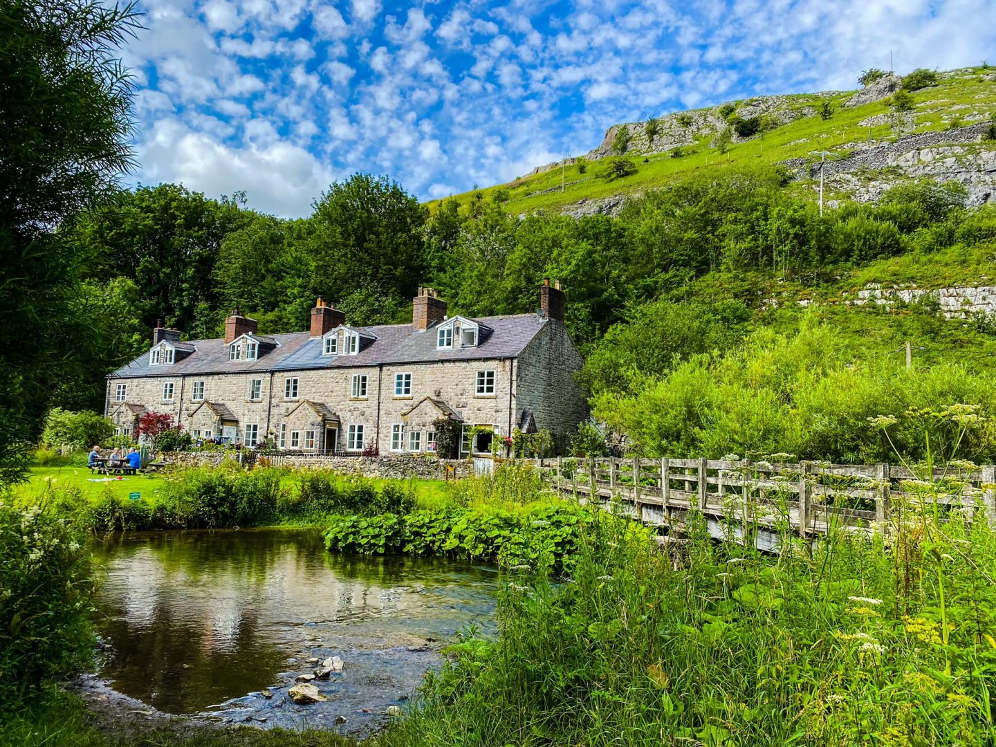
Stage 1: Buxton to Peak Forest

START: Buxton Town Hall (GR SK 058733)
FINISH: Peak Forest (GR SK 113793)
OS MAP: Explorer OL 24 The Peak District – White Peak Area
DISTANCE: 10.2 miles/16.4km
ASCENT: 983ft/300m
Buy the book
The Peak District Boundary Walk book includes a detailed route description, Ordnance Survey 1:25,000-scale maps and information about places of interest and local facilities.
Created by Friends of the Peak District, a branch of CPRE Peak District and South Yorkshire, the book examines some of the key issues facing the national park and how the Friends of the Peak District have campaigned for over 90 years to safeguard our most precious landscapes.
Join the Facebook group
Hear from other people who have walked the Peak District Boundary Walk, share route updates and celebrate your successes together; as a community of people who share our passion about the Peak District National Park.
Join the Facebook group


